About 23 Timber Company
23 Timber Co. is a land planning and aerial mapping practice built for private landowners, land buyers, and contractors working in northern New England. We started it because habitat, timber, and access decisions were too often being made in isolation, by different specialists who never talked to each other. The work is grounded in field experience, backed by GIS and aerial mapping, and focused on decisions that hold up over time.
The team
A small team with complementary skills and a shared bias toward getting the answer right before any work starts.
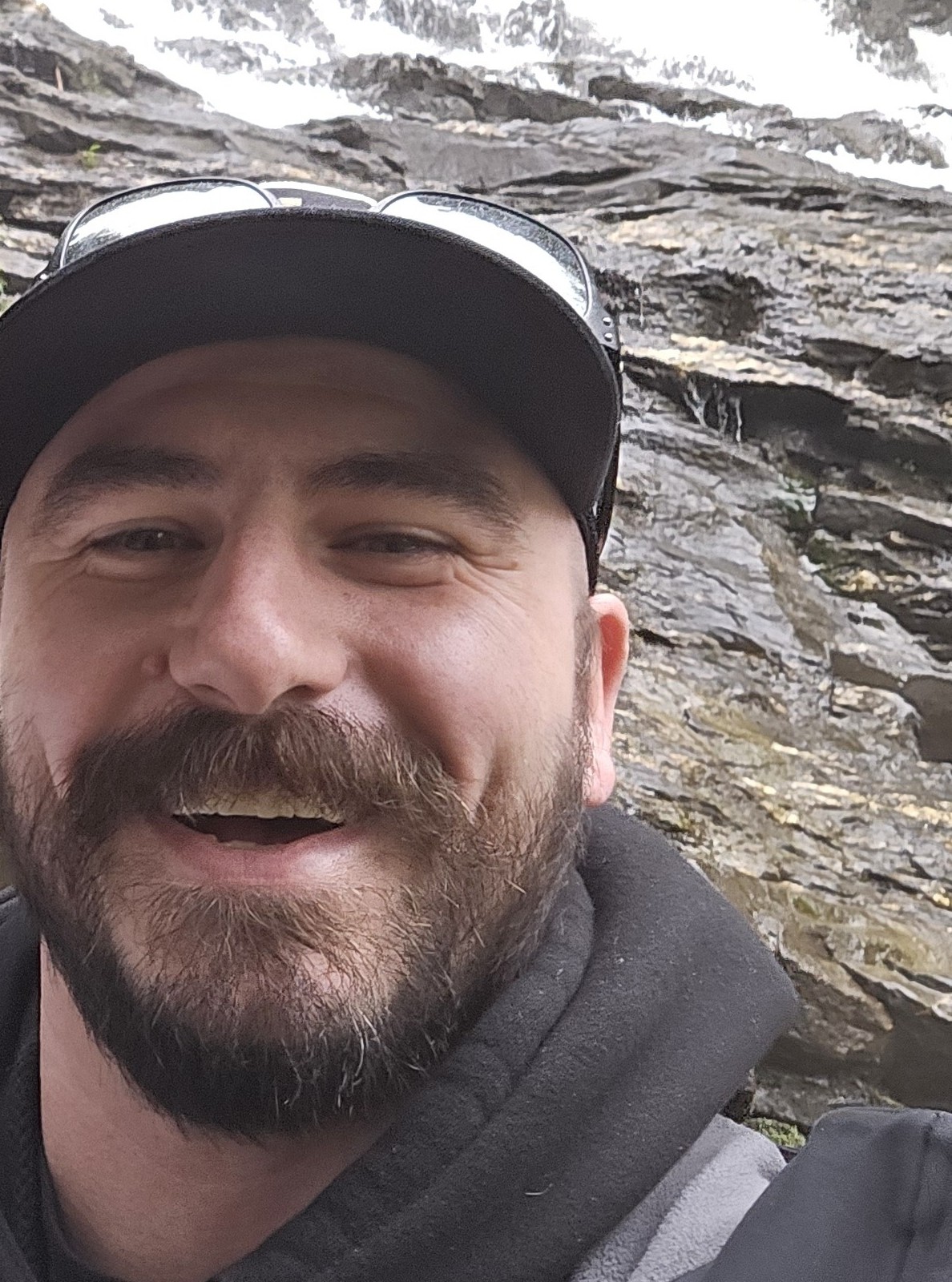
Randy Whitmore
I started 23 Timber because landowners in New England deserve someone who looks at the whole picture. A forester thinks about timber. A hunting consultant thinks about food plots. A logger thinks about what's coming down today. Nobody is thinking about how all of it connects, or what the property looks like in thirty years because of decisions being made right now.
I've spent thirty years hunting this ground and a career managing complex construction projects, coordinating specialists, sequencing work, and making sure decisions made early don't create problems later. That's exactly what good land management requires. I grew up around equipment, small farms, and woods that had stories in them if you knew how to read them, but it took years of hunting, burning, planting, and making mistakes on real ground before the pieces connected into something useful.
I'm not interested in drive-by consulting. I'd rather walk your land, understand what you actually have, and tell you what I think, including the parts that aren't what you were hoping to hear. The goal is always the same: leave the land better than you found it, and leave the owner with something worth passing down.
Credentials & training
- ISA Certified Arborist® (NE-373321A, valid through June 2029)
- FAA Part 107 Remote Pilot License
- GIS Certification / ArcGIS Pro
- Commercial Pesticide Applicator (MA) (NH)
- Wildland Fire (S-130 / S-190)
- Hoisting License (MA)
- OSHA 30
- General Liability (NEXT Insurance)


Steven Tsouprokas
Steven handles UAV mission planning, flight operations, and aerial data collection. His military background means the discipline is built in: safety protocols, pre-mission planning, and a checklist mentality that doesn't skip steps because the weather looks fine and the schedule is tight.
He's also genuinely interested in the technology in a way that keeps the capability moving forward, always testing new workflows and finding ways to turn raw aerial data into something a landowner can actually use to make a decision. Aerial work over private land requires more than flying ability. It requires mission planning, honest risk assessment, and consistent execution regardless of conditions, habits Steven built before the drone was ever part of the job.
Credentials & capabilities
- FAA Part 107 Remote Pilot License
- UAS mission planning and field safety
- Aerial imagery capture for planning and documentation
- LiDAR and photogrammetry data collection
- Point cloud processing and terrain analysis workflows
Meaghan Wood
Bio and photo coming soon.
What drives the work
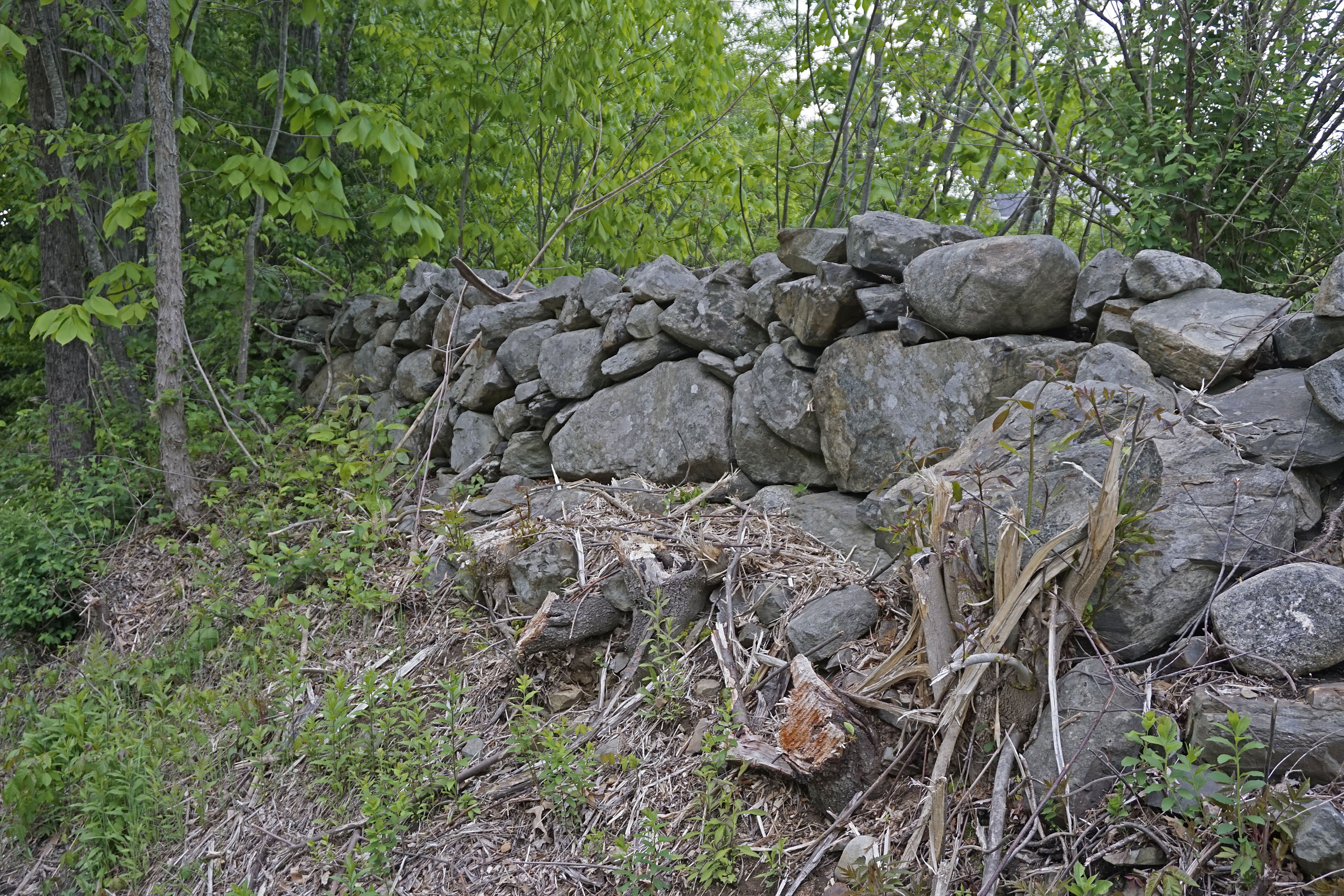
The name 23 Timber Co. is inspired by New England's history of independent landowners defending their right to manage their own forests. When the British Crown reserved the largest white pines for the Royal Navy, many colonists ignored the restrictions, cut marked trees, and resisted outside control over the land they depended on.
That same principle shapes our work today. We believe the person who owns the land should understand it well enough to make informed decisions about its future. Our role is not to tell you what to do. It's to provide the mapping, analysis, and field expertise that give you confidence in every decision you make.
Good stewardship begins with understanding what you own.
Read the full story behind the name →Want to talk about your land?
Most conversations start with a property description and a goal. That's enough to figure out whether we're a fit.